- Main page
-

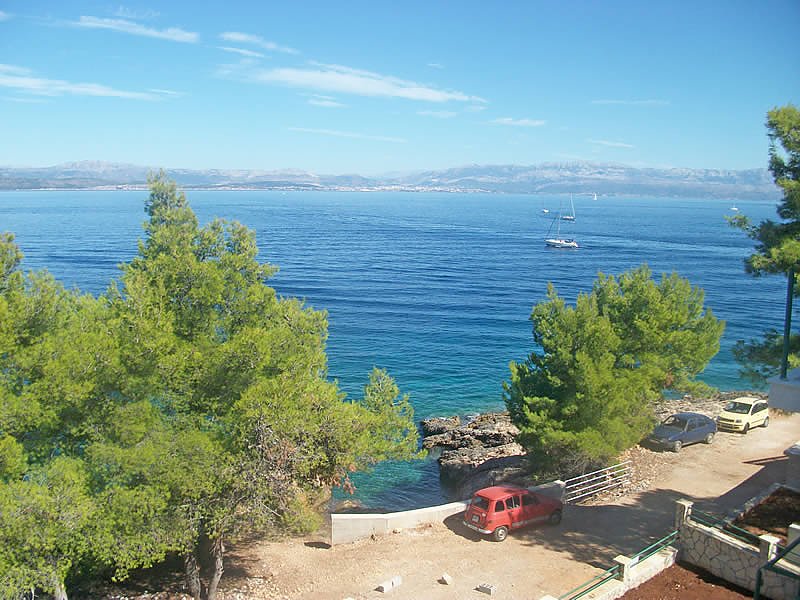
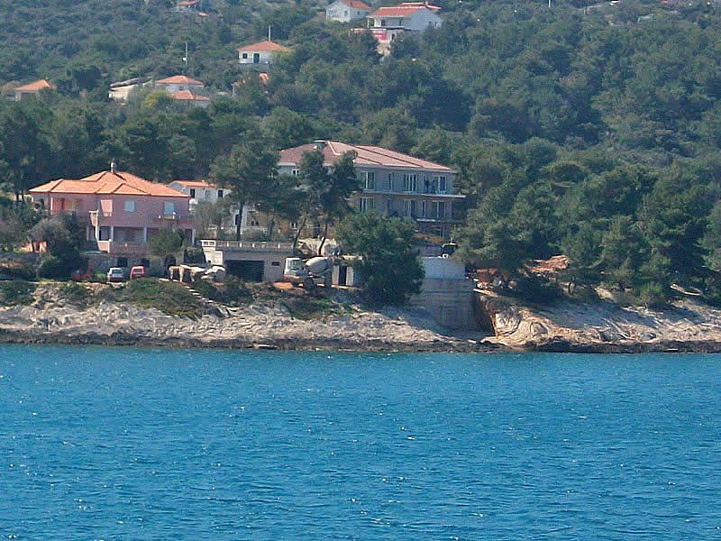
- Island of Šolta
ISLAND OF ŠOLTA
An island in the central Dalmatian archipelago, west of the island of Brac; separated from the mainland by the Split Channel. Its area is 58.9 sq km; population 1,448. The highest top is Vela Straza (237 m). A large karst field spreads in the island's interior, cultivated with various crops. The island has the Mediterranean climate; the average air temperature in January attains 7.8 °C, and in July 25.3 °C.
The largest coves, Rogac and Necujam, are situated on the north-eastern coast, covered with thick shrubs and exposed to northerly winds (especially the bora). The coves and inlets on the western coast are protected by the small offshore islets and cliffs. Bigger villages (Grohote, Gornje Selo, Srednje Selo, Donje Selo) are situated in the island's interior.
Chief occupations include farming, wine production, olive growing, fruit growing, fishing and tourism. Ferry ports are in the coves of Rogac, Necujam and Stomorska. The Romans called it Solenta, and in the Statute of Split (14th c.) it was called Solta. - The island has revealed the ruins of a prehistoric settlement (hill-fort Gradac) and another one from the Roman period (Rogac, Grohote, Necujam).
Gallery